fbpx
Tag: Mushkegowuk Council

Posts count: 2

Vern Cheechoo standing in the woods

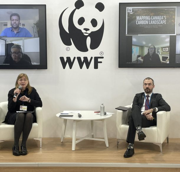
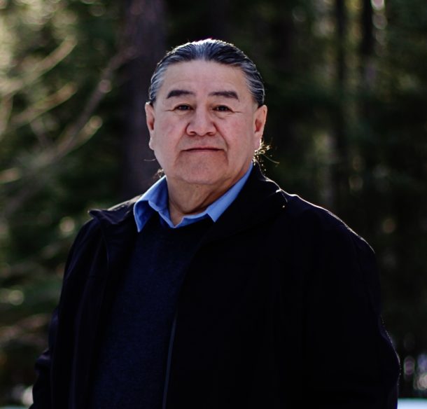
Mushkegowuk Council’s Vern Cheechoo on peatlands, climate change and the ‘Ring of Fire’

To help inform their stewardship decisions, the Mushkegowuk Council, which represents seven First Nations communities in northern Ontario, is working with WWF-Canada and McMaster University’s Remote Sensing Lab to “ground-truth” the carbon mapping research... Read More
To help inform their stewardship decisions, the Mushkegowuk Council, which represents seven First Nations communities in northern Ontario, is...
Read More
Launch of Mapping Canada's Carbon Landscapes study at COP26

WATCH: Mapping Canada’s Carbon Landscapes launch at COP26

WWF-Canada and partners released Canada’s first-ever national carbon analysis and map during a “Panda Pavilion” panel at COP26 in Glasgow on November 10. The study, led by researchers from McMaster University’s Remote Sensing Laboratory,... Read More
WWF-Canada and partners released Canada’s first-ever national carbon analysis and map during a “Panda Pavilion” panel at COP26 in...
Read More
© Staffan Widstrand / WWF © Staffan Widstrand / WWF

Stay Connected

Get email updates on WWF-Canada’s critical conservation work and learn how you can make a difference.