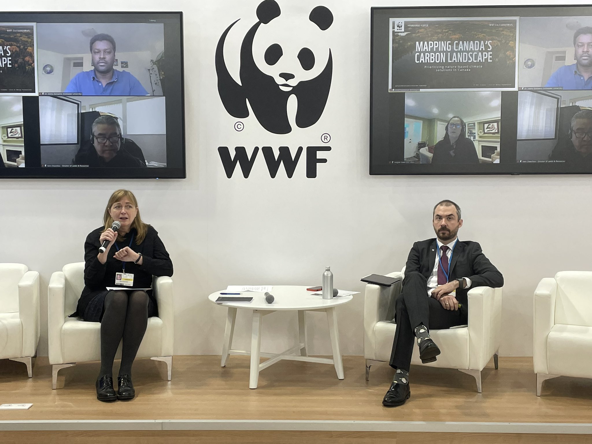
WATCH: Mapping Canada’s Carbon Landscapes launch at COP26
WWF-Canada and partners released Canada’s first-ever national carbon analysis and map during a “Panda Pavilion” panel at COP26 in Glasgow on November 10.
The study, led by researchers from McMaster University’s Remote Sensing Laboratory, found hundreds of billion of tonnes of carbon stored in ecosystems across Canada, the equivalent to about 30 years of human-caused global greenhouse gas emissions (at 2019 levels).
These findings were mapped to show the density of carbon — in different geographic locations — in trees and other plants all the way to two metres below ground.
The amount of carbon found in Canada is globally significant, which led to WWF-Canada recommending several actions to help protect carbon stores throughout the country.
Click here for more info on Mapping Canada’s Carbon Landscapes
The COP26 panel speakers included Mary MacDonald (Senior VP and Chief Conservation Officer, WWF-Canada), James Snider (VP, Science, Knowledge & Innovation, WWF-Canada), Vern Cheechoo (Director of Lands & Resources, Mushkegowuk Council), Alemu Gonsamo (Assistant Professor, McMaster University and Canada Research Chair on Remote Sensing of Terrestrial Ecosystems), and Angela Kane, (CEO, Secwepemcúl’ecw Restoration and Stewardship Society).
To learn about the enormous amounts of carbon stored in terrestrial ecosystems throughout the country — and the essential role it can play in fighting climate change — watch a recording of the launch.
