Aerial view of the landscape

Carbon-Mapping Mushkegowuk Territory

WWF-Canada is supporting the Mushkegowuk Council’s efforts to map and monitor carbon stored in their traditional territory

Protecting Peatlands

The Hudson and James Bay Lowlands, which sweep across northern Ontario and stretch into Manitoba and Quebec, are home to many Indigenous communities, including seven Mushkegowuk First Nations, as well as an incredible diversity of wildlife.

The region has one of the world’s largest network of peatlands, which is estimated to contain billions and billions of tonnes of carbon, accumulated over thousands of years — and currently locked in place.

© K. Rühland Aerial view of the landscape typical of the Hudson Bay Lowlands, Ontario, Canada

A Critical Ecosystem for Carbon Storage

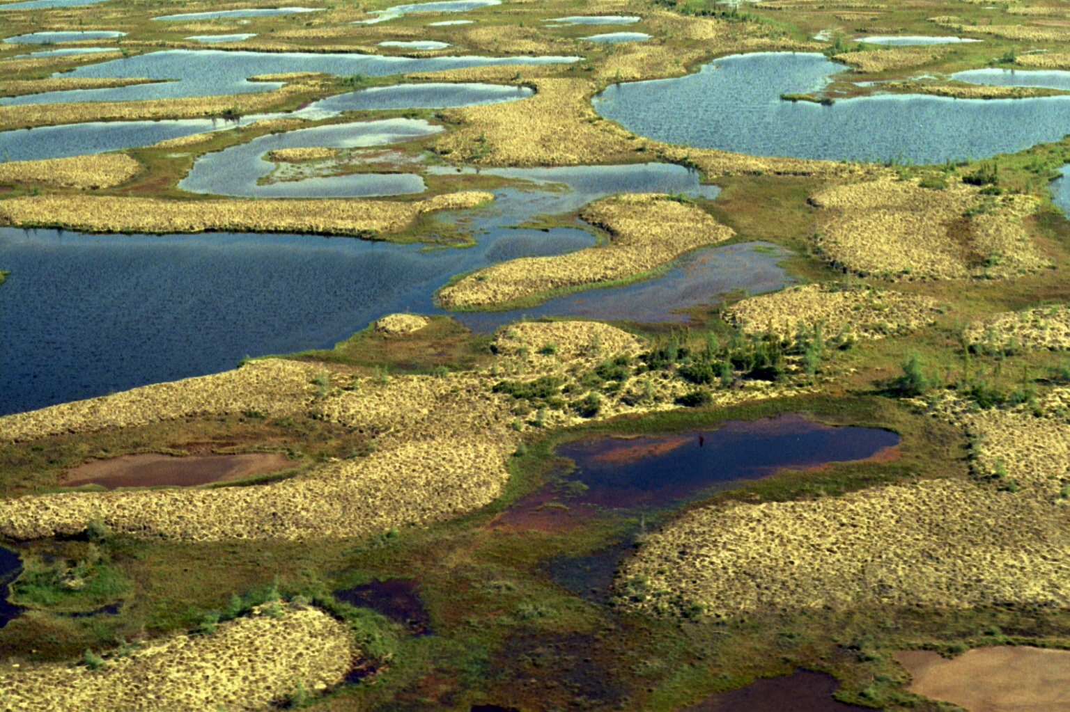
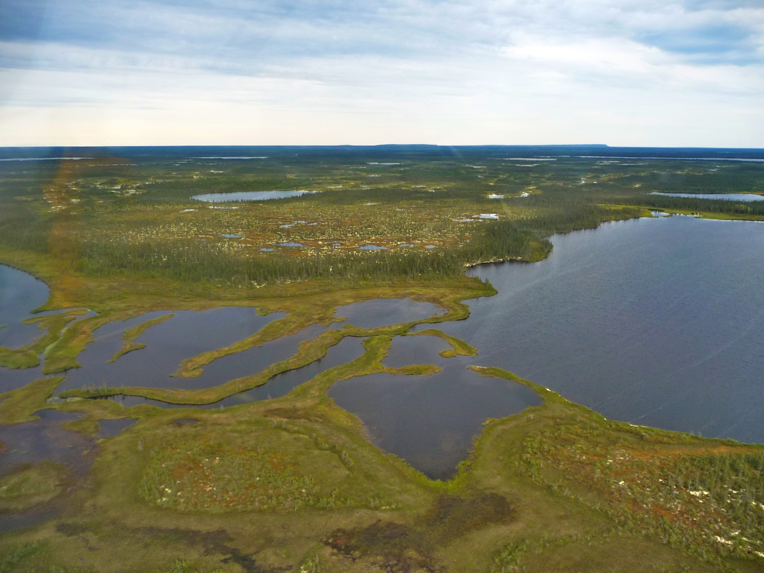
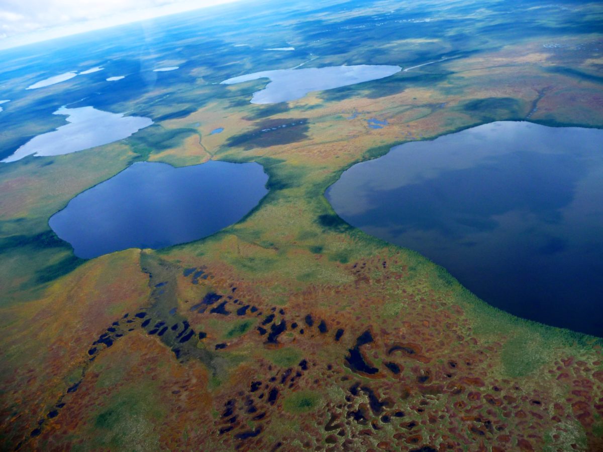
Peatlands are a type of wetland found in almost every country in the world. They cover 13 per cent of Canada’s surface, and currently store approximately 147 billion tonnes of carbon.

Their name comes from the accumulation and burial of “peat” soil — organic plant material that is only partially decayed due to the waterlogged conditions. In northern Canada, one square metre of peatland contains about five times as much carbon as an equivalent area of Amazon rainforest.

But to reap the climate benefits of the Hudson Bay James Bay Lowlands, we must keep these ecosystems intact. So, we need to understand, in greater detail, just how much carbon is stored in these peatlands, and what will happen if they are disturbed.

What WWF-Canada is Doing

On request of the Mushkegowuk Council to help inform their stewardship decisions, community-led field sampling of these peatlands, designed to weave together both scientific research and Indigenous knowledge systems, is being done in partnership with researchers from WWF-Canada and the Remote Sensing Lab at McMaster University.

These evidence-based efforts will help advance Indigenous-led conservation in a globally significant area for carbon storage, biodiversity and culture while delivering benefits to local communities. It will also provide important information to support decisions made in environmental assessments underway for the Ring of Fire.

The data will also help Canada prioritize nature-based climate solutions to achieve our greenhouse gas reduction targets, through both avoided emissions and active carbon sequestration. If done in concert with new Indigenous Protected and Conserved Areas, it could make a critical contribution to ensuring that Canada’s recently announced pledge to protect 30 percent of land and waters by 2030 is achieved in an equitable and inclusive way.

© Ken Abraham lichen tundra