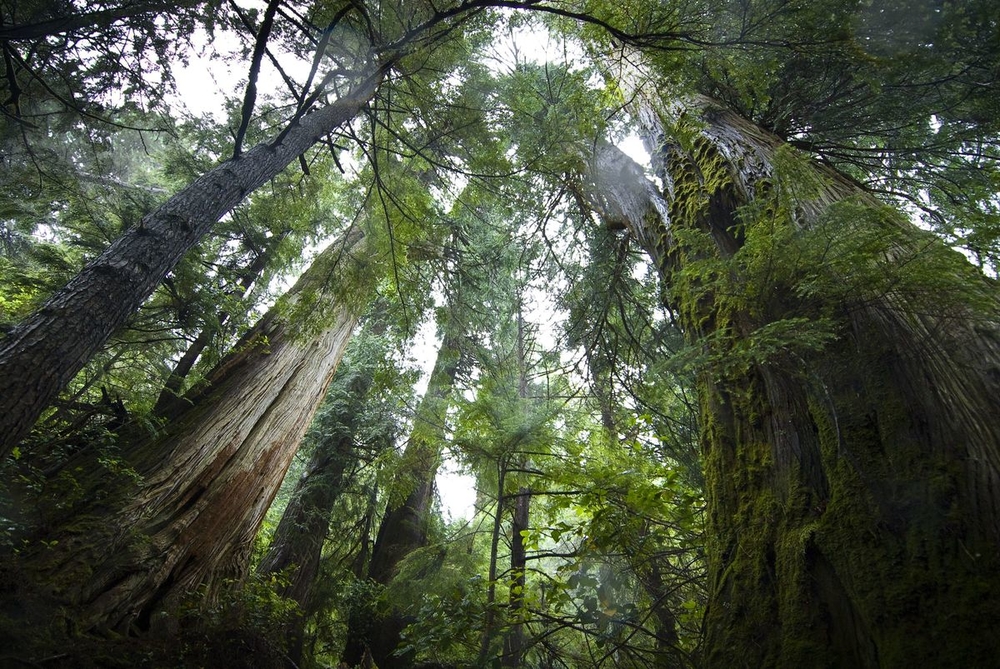
Getting to the root of primary forests
Covering a third of the land in Canada and housing tens of thousands of plant, animal and fungal species, these forests purify air and water, provide jobs, food and fuel, and help stabilize the global climate by sequestering carbon. But human activities (logging, oil and gas, mining, agriculture, roads, etc.) and climate change (increased droughts and fires, pest outbreaks, etc.) are affecting their ability to do this work.
And while trees can grow back, the forest won’t necessarily be the same after these impacts. That’s where primary forests come in — but despite being some of the world’s most ecologically significant forests, human activities are encroaching on them. To better understand primary forests, including what and where they are and which ones are worth protecting, we spoke to Karen Saunders, WWF-Canada’s Vice-President, Wildlife and Industry.

Definitions vary, but primary forests are forests that have not been majorly impacted by human activities. They are naturally generated (i.e., not planted by humans) and are composed of native species. Forests that have regrown after a major human-caused disturbance — like logging, which can impact a forest’s structure and species — are not considered primary.
Of course, these are over-simplifications.
What’s wrong with a simple definition?
Without a definition that addresses details, it’s difficult to identify primary forests and put them on a map, which is what’s needed to implement policies like logging limits and protected areas. And it also ignores nuances like Indigenous usage (food, medicine, forest products, cultural uses) and stewardship, neither of which should disqualify a forest from a primary classification if natural processes have not been disrupted.
What is WWF-Canada doing about this?
We have completed a review of the existing literature and criteria so we can start a dialogue around the variations in definitions and work towards a widely accepted, comprehensive definition.
We are also working with the University of Maryland’s Global Land Analysis and Discovery (GLAD) laboratory to produce a prototype map of long-lived forests in Canada (which may or may not be old enough to be classified as “old-growth”) that have not been completely cleared and regrown in recent history.
We’re also seeking feedback from Indigenous organizations, researchers, corporate partners, government agencies and environmental NGOs on the mapping method, scope and limitations, and potential usage. Our goal is to create a tool that supports forest conservation decision-making, including sustainable forest-product sourcing, land use planning and Indigenous-led forest management.
GLAD lab’s mapping method has been previously used for primary tropical forests, but not yet for temperate and boreal ones. So this is also a stepping stone to the eventual mapping of primary temperate and boreal forests around the globe.
Okay, so what’s next?
This work will bring us a step closer to a clearer definition of primary forests in Canada and a robust mapping methodology for primary temperate and boreal forests. Then we use this data to help conserve specific primary forests outside of existing protected areas and support the plants and animals within them. With Canada committing to protect 30 per cent of its lands by 2030 to halt and reverse nature loss, this would help us get there in the most impactful way possible.
