A tale of three watersheds: what we know — and don’t know — about the health of Canada’s freshwater
Canada is famously home to 20 percent of the world’s freshwater — but how well are we stewarding this supply?
WWF-Canada recently reassessed the health of our country’s 25 watersheds to better understand how they’re responding to threats from pollution, habitat loss and climate change. Our 2020 Watershed Reports found that 26 per cent of Canadas’s 167 sub-watersheds received a score of Good or Very Good, which is good or very good news!
But what’s bad, or possibly very bad, is that nearly 60 per cent of these sub-watersheds received no score at all because they remain Data Deficient. In other words, we just don’t know. This lack of data is concerning as we need a complete picture to determine which areas need dedicated efforts to protect our freshwater ecosystems.
Here’s just a sample of what we learned with a look at three of Canada’s watersheds.
Poor watershed health in remote areas
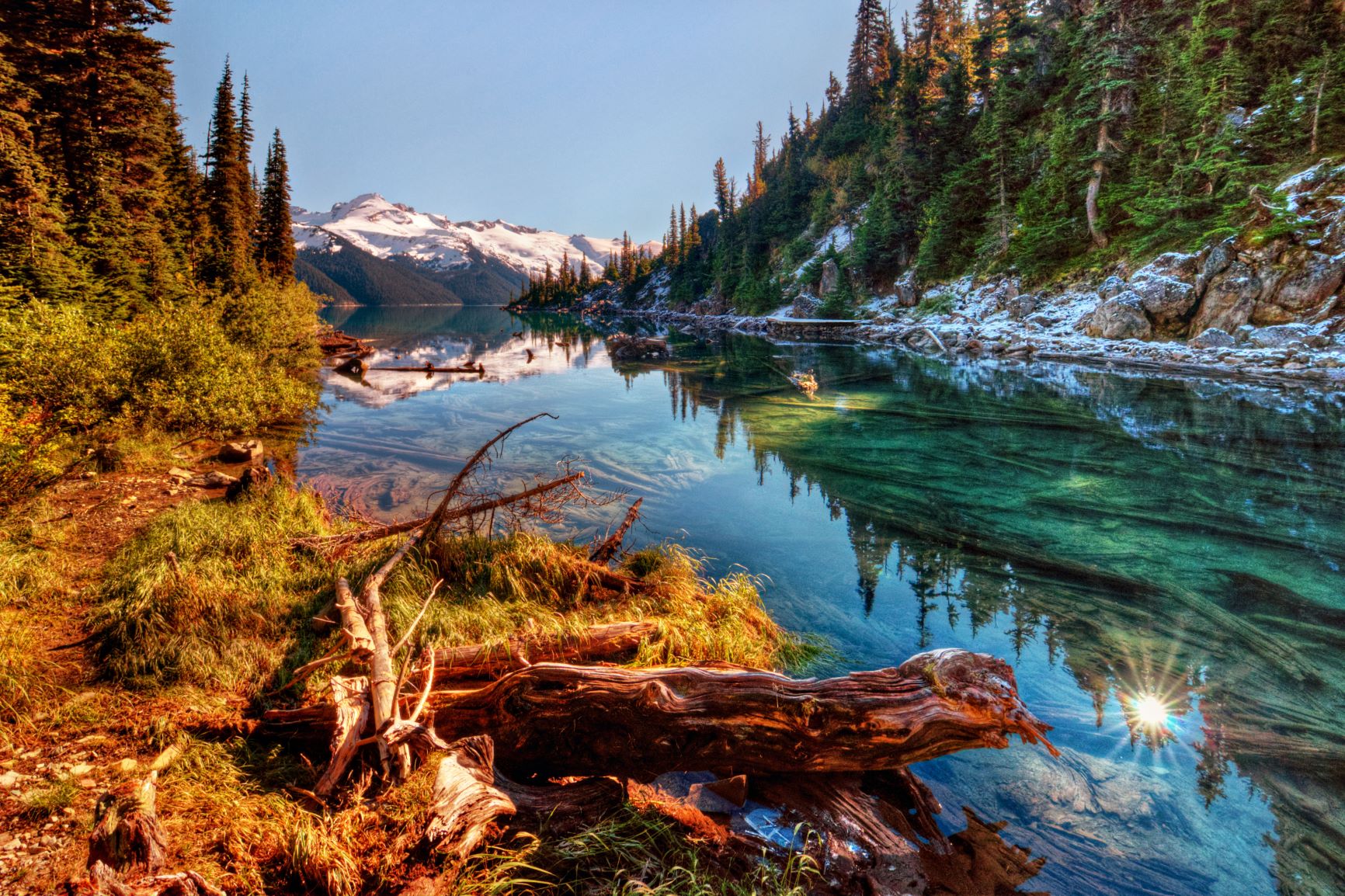
The Yukon River watershed spans northwestern B.C. to northern Yukon before crossing into Alaska. It supports one of the world’s largest salmon runs but received a Poor health score due to water flow and water quality.
The significant change in monthly water flow is likely due to climate change and/or resource extraction while water quality data showed high measurements of metals (aluminum, copper, iron, arsenic, lead and zinc) and nutrients (nitrite, nitrate and phosphorus). These low scores are surprising considering the Yukon watershed is so remote.
Targeted water monitoring can help fill gaps
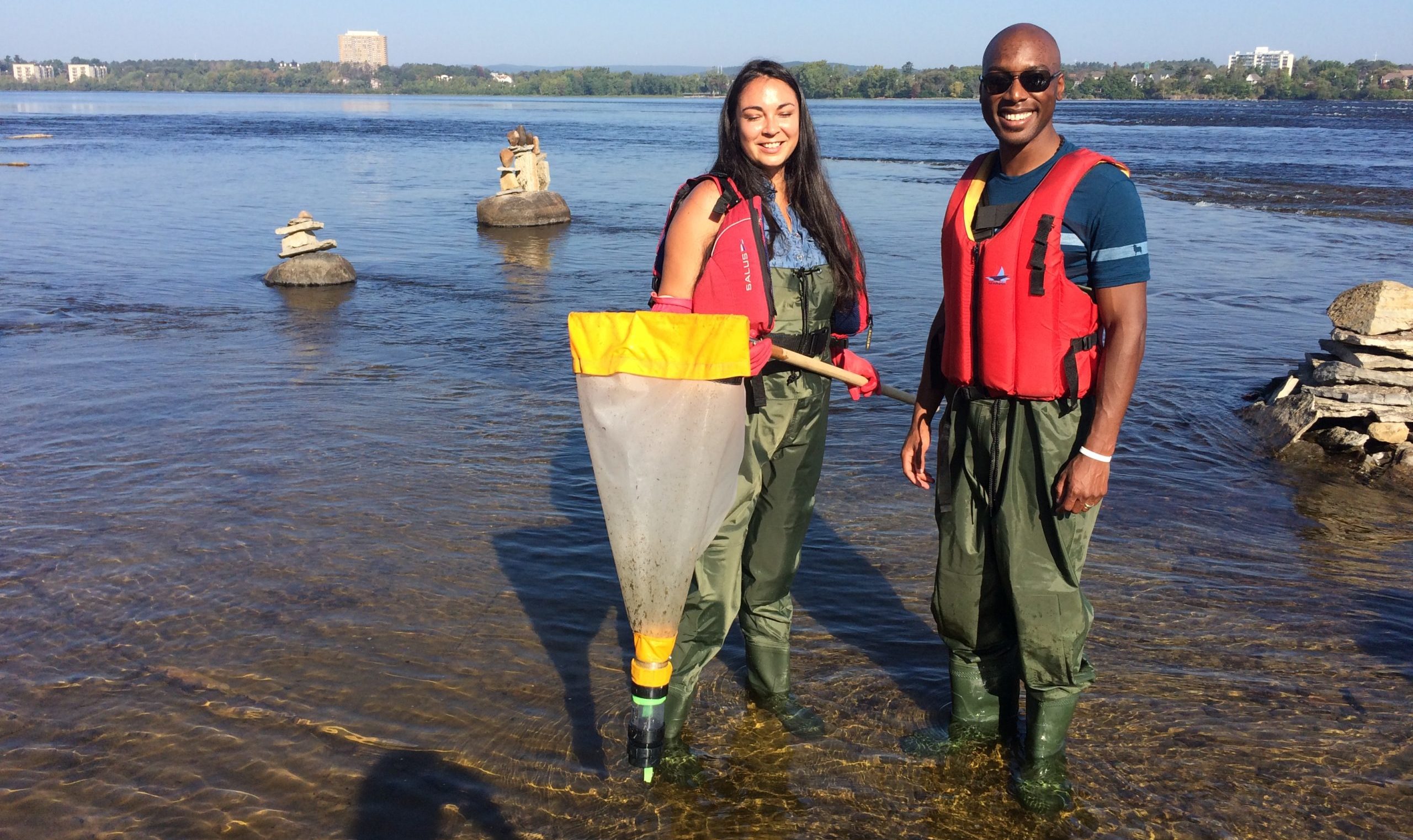
The Ottawa River watershed flows from Quebec’s Laurentian Mountains down into Ontario and then southeast to the St. Lawrence River, providing drinking water for over a million people and supporting large numbers of fish, bird, and amphibian species.
The Central Ottawa sub-watershed used to be Data Deficient but thanks to targeted monitoring from WWF-Canada and partners, it received Good and Very Good scores for water quality, benthic invertebrates, and fish. This additional data allowed us to calculate the health score for the watershed as a whole — scoring overall Fair — with one of the sub-watersheds scoring Good.
While the overall score may be lower than we’d hope, we now know that to improve flow and water quality in the region we must reduce habitat fragmentation and pollution.
Data deficiencies in northern areas facing significant industrial development
Both the Northern Quebec and Northern Ontario watersheds remain largely rugged wilderness, with their major rivers flowing north into James Bay or Hudson Bay. They are both massive, with the Northern Ontario watershed alone covering nearly half of its namesake province. Yet all 12 Northern Quebec sub-watersheds and 11 of 13 Northern Ontario sub-watersheds scored Data Deficient.
There are significant mines and major dams in these areas but without enough data, we can’t understand how these industrial developments are affecting the health of these watersheds, and consequently the wildlife and people that depend on them. We also can’t know how to evaluate proposals for new developments.
While much of this data gathering needs to be conducted and funded by government and industry, we can also take charge of the water in our own backyards. Get involved with your local watershed group to sample nearby rivers or streams for water quality or bugs and upload your findings to open data systems like the STREAM program . Find out more about your watershed through the interactive map.
