What are MPAs and OECMs? A deep dive into the different forms of marine protection
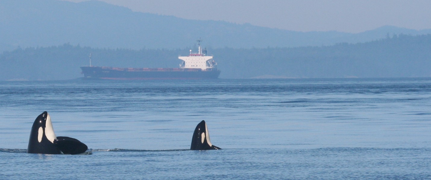
Surrounded on three sides by ocean, Canada has the world’s longest coastline, home to a wealth of biodiversity in a variety of marine habitats. The federal government has agreed to protect 25 per cent of these waters by 2025 and, after signing the Kunming-Montreal Agreement at COP15, 30 per cent by 2030.
How will they do this? By designating Marine Protected Areas (MPAs) or other effective area-based conservation measures (OECMs).
Both MPAs and OECMs have the same essential result — conserving biodiversity by protecting species, habitats and ecosystems — but they arrive there in different ways. As does the third emerging tool of marine Indigenous Protected and Conserved Areas, or IPCAs.
MPAs and OECMs
MPAs, which are explicitly created to protect biodiversity, must meet the standard for a protected area as laid out by the International Union for Conservation of Nature, the intergovernmental organization responsible for the IUCN Red List of threatened species.
Each MPA must be “a clearly defined geographical space that is recognized, dedicated and managed through legal or other effective means to achieve the long-term conservation of nature with associated ecosystem services and cultural values.”
In Canada, three types of federal designations create protected ocean areas: MPAs (DFO); National Marine Conservation Areas (Parks Canada/Environment and Climate Change Canada) and Marine National Wildlife Areas (Canadian Wildlife Services/ECCC). In addition, self-declared MPAs under Indigenous law are now rapidly emerging, such as Gitdisdzu Lugyeks (Kitasu Bay) Marine Protected Area and Gwaxdlala/Nalaxdlala marine refuge
Although OECMs aren’t created to preserve biodiversity as their primary purpose, the way they’re managed still meets the Convention on Biological Diversity’s (CBD) standard for a specific geographical area that “achieves positive and sustained long-term conservation of biodiversity with associated ecosystem functions and services and where applicable, cultural, spiritual, socio–economic, and other locally relevant values.”
In other words, OECMs are places that conserve biodiversity, even though it’s not necessarily the reason why it was created — it could be to preserve fish stocks or safeguard a shipwreck — but the outcome is the same.
Canada was one of the first counties to designate marine OECMs and began doing so even before the CBD created guidelines. To date, the only marine OECMs counted towards protection targets are marine refuges, which are designated areas that are closed to fishing under the Fisheries Act.
The Eastern Canyons Marine Refuge is an OECM established last June off the Eastern Scotian Shelf near Nova Scotia. This 44,000-square-kilometre refuge means cold-water corals will be protected by restricting bottom-contact fishing in this area. And it’s not just the corals that will be conserved. Deep sea coral creates habitat for many different species, so if bottom-trawling is prohibited, both the coral and the wildlife that call it home are protected.
The rise of IPCAs
A third way to protect marine environments is through Indigenous Protected and Conserved Areas (IPCAs). As caretakers of oceans and coasts since time immemorial, Indigenous Peoples have a wealth of knowledge to continue to steward them in healthy and resilient ways.
IPCAs are protected lands or waters where Indigenous Peoples have chosen to have a primary role in protecting and conserving ecosystems. They are declared and managed by Indigenous governments but can also receive federal designation that support them.
Last summer, the Kitasoo Xai’xais Nation announced it had independently established the Gitdisdzu Lugyeks (Kitasu Bay) Marine Protected Area in their territorial waters of the Great Bear Sea. The protection of biodiversity in this MPA will be guided by a science-based management plan created by the Kitasoo Xai’xais Stewardship Authority (KXSA) while local Guardians will monitor and steward it.
The importance of protected networks
Connecting these protected areas into a network is important for a couple reasons. Intentionally planning a network improves its impact – it’s possible to map out both important biodiversity areas as well as sites that are important to people, maximizing the size and effectiveness of protected areas.
Everything in the ocean is connected. When MPAs are intentionally designed as part of a network, they provide protected refuges where species can inhabit, grow and reproduce from. When strategically planned for migratory species, they also protect spaces used for replenishment and rest from extractive activities and habitat damage. Climate change makes this particularly important as species move to adapt to warming waters.
According to DFO, Canada currently protects 842,821 square kilometres, or 14.66 per cent of its ocean areas. There are MPAs on all three coasts, including Gwaii Haanas National Park Reserve, National Marine Conservation Area Reserve and Haida Heritage Site in the Pacific Ocean, which is co-managed by the Council of the Haida Nation and the federal government; Tuvaijuittuq and Tallurutiup Imanga in the Arctic Ocean, which were created collaboratively with the federal government, Government of Nunavut and the Qikiqtani Inuit Association and fall within the region WWF has dubbed the Last Ice Area; and the Laurentian Channel Marine Protected Area in the Atlantic Ocean, off the coast of Newfoundland and Labrador.
(While there are protected areas in the Great Lakes, such as the Fathom Five National Marine Park and the Lake Superior National Marine Conservation Area, freshwater protected areas do not contribute to marine conservation targets but are counted as part of land targets.)
An action plan for Canada’s first-ever planned network of MPAs — in B.C.’s Great Bear Sea, also known as the Northern Shelf Bioregion — was announced on Feb. 5, after years of work by First Nations, provincial and federal governments.
Once implemented, it will be world’s largest example of an Indigenous-led, collaboratively developed marine protected area network and combine management tools from all three governments to protect the region’s unique wildlife and diverse habitats, while delivering positive outcomes for communities.
New minimum standards
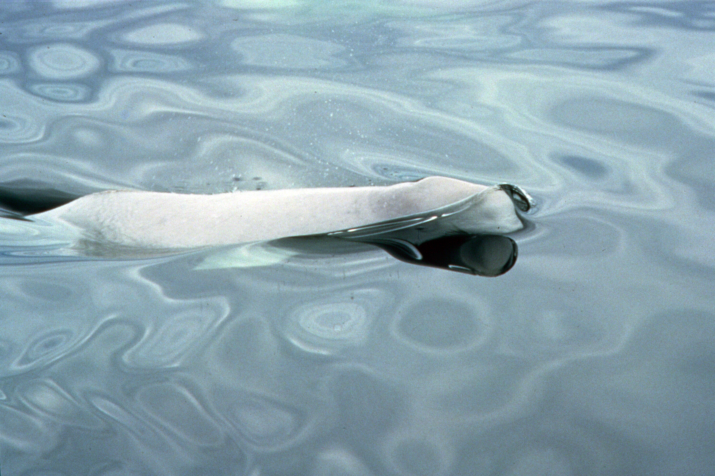
Many of the species that MPAs and OECMs protect are at risk of going extinct, such as St. Lawrence beluga whales and blue whales, which are both protected by measures such as restrictions on boating activity or interaction with them in the Saguenay–St Lawrence Marine Park, an MPA co-managed by the governments of Canada and Quebec.
The specific protections in each MPA vary depending on the circumstances of the habitats, activities in the region and the species at risk. There’s still work to be done in terms of setting minimum standards for MPAs in Canada.
Four years ago, Canada agreed to minimum standards for any new federal MPAs — no mining, no dumping, no bottom trawling and no oil and gas — and in February, the government released their proposed Marine Protected Areas Protection Standard which provides much-needed clarity and consistency on what activities are and aren’t allowed within MPAs.
But when it comes to dumping, the restrictions on greywater, scrubber washwater, sewage, food waste and bilge water discharges are only mandatory in Canada’s territorial sea (up to 12 nautical miles from shore) due to international shipping regulations, leaving approximately 75 per cent — or 602,000 square kilometres — of Canada’s MPAs still open harmful ship waste. The new policy is, however, calling for voluntary compliance in our Exclusive Economic Zone (12 to 200 nautical miles from shore) and, in the future, Canada can propose mandatory restrictions for protected ocean areas through the International Maritime Organization.
Ultimately, the objective for protected areas is to ensure that at-risk species have space to thrive by restricting most human activities and accommodating well-managed but limited uses such as local subsistence harvesting and traditional use.
WWF-Canada looks forward to continuing to engage with government, Indigenous Peoples, industry and the public to ensure that MPAs on all three of Canada’s coasts benefit from the highest possible level of protection.
