MaPP: The long view across a great big sea
Many people are familiar with the idea of a community plan – it’s a document that towns and cities develop to guide decisions about zoning. It answers questions like: Where should we have green space? What density of housing should we have? Is it appropriate for industrial development to be permitted in such-and-such a region? Where is infrastructure needed most urgently? A good plan takes the long view and aims to improve quality of life based on the values that the community holds dear. A bad plan – or no plan at all – is short-sighted, fragmented, and disregards how people and the space they live in are connected.
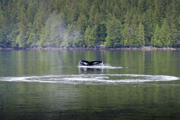
Well, imagine the same thing, but on a scale of thousands of kilometers, stretching across the marine and coastal environment. That’s what marine planning is all about and it’s happening all around the world: in Scotland, in the Northeast Coast of the US, in Australia and elsewhere . In BC, the recently announced MaPP plans represent an attempt to plan for the future of a region of 102,000 km2, an area slightly larger than the country of Iceland. The MaPP – aka Marine Planning Partnership – plans recognize first and foremost that the health of the marine environment is the foundation for healthy communities and economies.
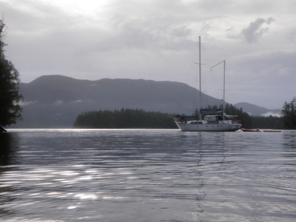
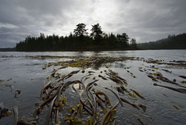
A major part of the plan proposes three zones for the MaPP region, corresponding to different priorities. General use zones, comprising over 60 per cent of the MaPP area, are where a diversity of uses, from tourism to commercial and recreational fishing, marine transport industries and more are permitted provided they are compatible with one another and the environment. Special use zones are where priority is given to certain uses such as shellfish aquaculture, tourism or renewable energy projects, owing to the suitability of the ocean to these uses. Protection zones, making up close to 20 per cent of the region, are where priority is given to conservation. In the making of these plans, literally hundreds of layers of data about the region were used. You can view the plans and check out the information for each zone online using this cool interactive map that was set up for the BC MaPP process, called Seasketch.
Dozens of individual areas, ranging from just few km2 to 1,000 km2 or more, have been identified under these three types of zones. For each, key information about the ecological, cultural, and economic value has been compiled, resulting in recommendations about what uses are suitable, not compatible, or conditionally acceptable. So for example, a zone with an estuary – the place where the mouth of a river meets the ocean – may prevent dredging activities that would destroy critical salmon habitat. Or an inlet prized for recreational fishing would ensure opportunities for floating fishing lodges to practice their business. First Nations traditional harvest and cultural sites are reflected in the zoning recommendations as well.
Most importantly, the plan recommends bolstering the capacity of First Nations and coastal communities to undertake monitoring, communications, and collaboration necessary to manage the region.
That healthy, well-managed oceans underpin community and economic well-being should be no great revelation– it’s only common sense. But putting this idea into practice will take a lot of work. Just as with the city planning example, not everyone is going to get everything they want. Trade-offs will occur, some uses will take priority in certain areas, and some groups will have to change the way they do business. But if we do it right, we’ll have a prosperous coast supporting a diversity of uses, where all ocean users are united in keeping it healthy.
Will these plans be effective in safeguarding a future where all coastal residents and visitors can benefit from the natural wealth of BC’s coast? The answer depends on how much support is given to implementing and enforcing the plans – that means dedicated long-term investment that builds capacity, as well as continued support from all levels of government.
