Arctic sees second lowest November sea ice extent on record, favouring another cold season of extremes in mid-latitudes
By Nick Sundt
WWF Climate Blog
On 19 September 2010, Arctic sea ice reached its seasonal minimum extent — the third lowest on record. Since then, the seasonal “freeze-up” has occurred and sea ice extent has grown. But in October, the ice was at the third lowest extent on record, contributing to a longterm decline for the month of October of -6.2 percent per decade.
And in today’s report, Slow ice growth leads to low November ice extent, the NSIDC center said that sea ice extent for the Arctic as a whole was 12.4 percent below average in November and that the long-term rate of decline for the month is –4.7 percent per decade. The center reported that sea ice extent was especially low in the Atlantic and Pacific sectors of the Arctic and in Hudson Bay (see map below, showing sea ice extent on 4 December 2010).

Above: Sea ice extent on 4 December 2010. Sea ice is indicated in white, while the median for 1979-2000 is indicated by the orange line. Source: NSIDC.
According to Environment Canada (see figure below), total accumulated seasonal sea ice coverage (from 25 June to 15 October) for the Hudson Bay region has been declining over the long term and this year was the lowest on record (i.e., since 1971). The NSIDC says that by the end of November, Hudson Bay normally is half-covered with sea ice but on 30 November this year, sea ice covered only about 17 percent of the bay.

Globally, the year through 2010 has been the warmest on record and the warmth has been especially pronounced in the Arctic. The figure below illustrates temperature anomalies for October 2010, with areas in dark red recording the largest positive departures from normal.

For large areas of the Arctic, the above normal temperatures persisted into November and early December. For example, Coral Harbour — at the north end of Hudson Bay — saw a mean temperature departure of 9.5oC (17.1oF) for the 30 days through 3 December (see figure below).

The NSIDC reports:
“Near-surface air temperatures over the Siberian and Alaskan side of the Arctic were 3 to 5 degrees Celsius (5 to 9 degrees Fahrenheit) warmer than normal in November. Air temperatures over Baffin Bay were also unusually warm (8 degrees Celsius, or 14 degrees Fahrenheit above average). The warm air came from two sources: unfrozen areas of the ocean continued to release heat to the atmosphere; and a circulation pattern brought warm air into the Arctic from the south.”
When Arctic waters are separated from the cold air above by sea ice, the ice serves as an insulator inhibiting the flow of thermal energy from the water’s surface to the atmosphere. But when the water is not covered by ice, it can transfer a tremendous amount of energy to the atmosphere. This is suggested in the figure below, showing air temperature anomalies over the northern hemisphere on 4 December 2010. 
Note the large positive temperature anomalies around Hudson Bay and areas to the east to Greenland where sea ice normally would inhibit the transfer of energy from the water to the atmosphere. See too the positive temperature anomaly between Alaska and Russia, and the anomaly in the Kara Sea to the west of Russia’s Yamal Peninsula — areas of open water and unusually low sea-ice concentrations.
The Emergence of “Arctic Amplification” driven by Rising Concentrations of Greenhouse Gases
In The Emergence of Surface-Based Arctic Amplification (The Cryosphere, 11-19, 2009), Mark Serreze of the NSIDC and his colleagues explain “arctic amplification”:
“The concept of Arctic amplification… is that rises in surface air temperature (SAT) in response to increasing atmospheric greenhouse gas (GHG) concentrations will be larger in the Arctic compared to the Northern Hemisphere as a whole. Model-projected Arctic amplification is focused over the Arctic Ocean… As the climate warms, the summer melt season lengthens and intensifies, leading to less sea ice at summer’s end. Summertime absorption of solar energy in open water areas increases the sensible heat content of the ocean. Ice formation in autumn and winter, important for insulating the warm ocean from the cooling atmosphere, is delayed. This promotes enhanced upward heat fluxes, seen as strong warming at the surface and in the lower troposphere.“
The researchers argue that Arctic amplification has emerged. They say that surface air temperature anomalies over the Arctic Ocean from 1979 through 2007 “have shifted from predominantly negative through the mid 1990s to strongly positive in the later part of the record. Positive anomalies are especially large in the last two years of the record [i.e. 2006 and 2007] and for October (exceeding 3oC), one month after the seasonal sea ice minimum.”
“With the expectation of continued summer ice loss, fostering more sensible heat gain in the upper ocean,” Serreze et al. say, “autumn freeze-up will be further delayed, such that Arctic amplification should start to be seen in winter.” They suggest their results “hint that this winter signal is just emerging.”
They conclude:
“With models consistently simulating reductions of ice cover into the future, we view the emerging Arctic amplification documented in this paper as but a harbinger of a more pronounced signal to appear in the near future with impacts that may extend well beyond the Arctic Ocean.”
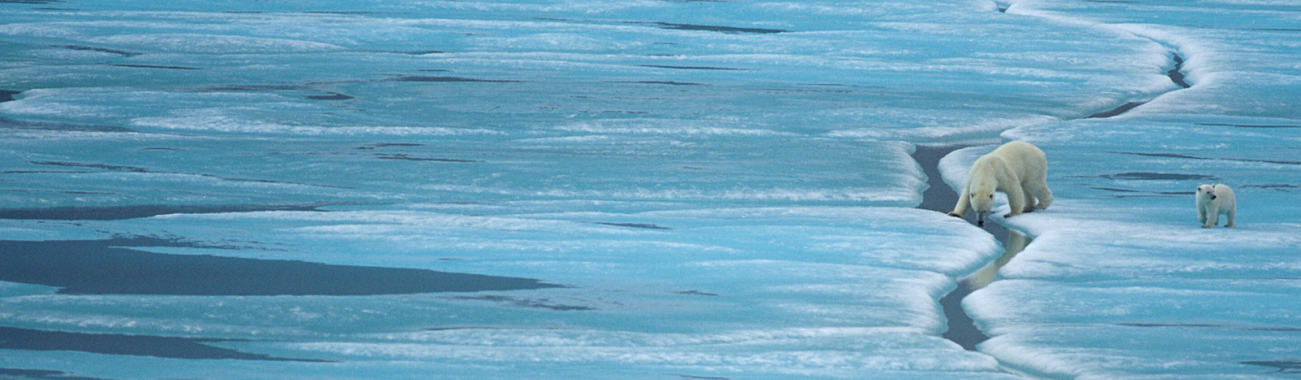
Later this week, we’ll post a piece on the consequences of the emerging amplification in Canada’s Hudson Bay, where polar bears are imperiled by the earlier sea ice breakups in the Spring and later freeze-ups in the Fall. Below we discuss an immediate concern that spills well beyond the Arctic: impacts on late Fall and winter weather in the mid-latitudes of the Northern Hemisphere.
Large-Scale Impacts on Atmospheric Circulation in the Northern Hemispere.
In Role of Arctic sea ice in global atmospheric circulation: A review (Global and Planetary Change, April 2009), Dagmar Budikova surveys the scientific literature on the potential impacts of Arctic sea ice on climate outside the Arctic. “To date, the numerous observational and modeling efforts have explored and documented the influence of Arctic sea ice on various aspects of our climate including the mean state of surface temperature, precipitation, storm track activity, and general circulation of the atmosphere across many regions of the Northern hemisphere from the Arctic to the tropics,” she says.
“Sea ice has been recognized as the primary means by which the Arctic can impact the global climate because of its ability to influence the exchange of radiation, sensible heat, and momentum between the atmosphere and the ocean. As well, the evidence regarding our climate’s sensitivity to changes in the Arctic sea ice conditions is mounting.”
Budikova says researchers have focused in particular on understanding the impacts of sea ice on climate during the northern hemispheric cool season. “Variations in Arctic sea ice conditions exert their greatest impact on the strength and path of the westerlies, the polar and subtropical jet streams, and associated cyclones,” she says. “Arctic sea ice impacts the general circulation of the atmosphere in very distinct manner in the north Pacific American and north Atlantic and Eurasian sectors. ”
In March 2010, the National Oceanic and Atmospheric Administration (NOAA) said that the decline in Arctic sea ice is affecting the patterns of atmospheric pressure in the region, particularly in the Fall and early Winter. It said that these pressure changes in turn “impact large scale wind patterns over the Northern Hemisphere, allowing cold air to move southward.”
More recently, on 21 October 2010, in NOAA’s annual “Arctic Report Card,” researchers reported that the decline in Arctic Sea Ice appears to be favoring atmospheric conditions that paradoxically tend to bring colder weather to some areas well outside the Arctic. The report links this emerging “Warm Arctic-Cold Continents” pattern to the cold air outbreaks and heavy snows experienced in parts of the U.S. and elsewhere in the Northern Hemisphere in December 2009 and February 2010.
In short, the impacts of climate change in the Arctic now appear to be spilling well beyond the region to affect the lives of hundreds of millions of people living in more temperate regions to the south.
Two weeks after NOAA’s Arctic Report Card was published, Vladimir Petoukhov (Potsdam Institute for Climate Impact Research, Potsdam, Germany) and Vladimir A. Semenov (Leibniz Institute of Marine Sciences at the University of Kiel, Germany) published A link between reduced Barents-Kara sea ice and cold winter extremes over northern continents (J. Geophys. Res., 5 November 2010). In simulations, the researchers found that “anomalous decrease of wintertime sea ice concentration in the Barents–Kara (B-K) seas could bring about extreme cold events” like the “extremely cold winter 2005–2006 in Europe and northern Asia.”
“Recent severe winters like last year’s or the one of 2005-06 do not conflict with the global warming picture, but rather supplement it,” said Vladimir Petoukhov in a press release (Global Warming could cool down temperatures in winter, 16 November 2010). “Whoever thinks that the shrinking of some far away sea-ice won’t bother him could be wrong. There are complex teleconnections in the climate system, and in the Barents-Kara Sea we might have discovered a powerful feedback mechanism.”