Forage Fish Spawning Monitoring in the Salish Sea
Forage Fish Spawning Monitoring in the Salish Sea
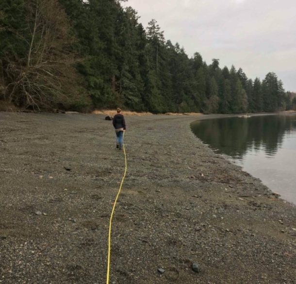
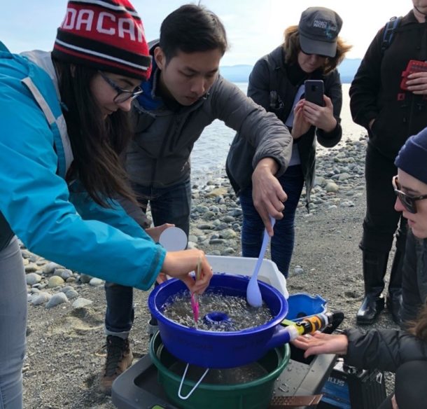
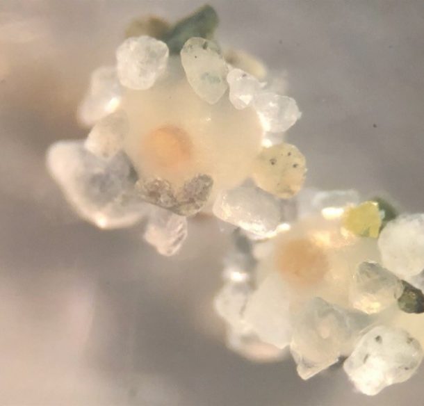
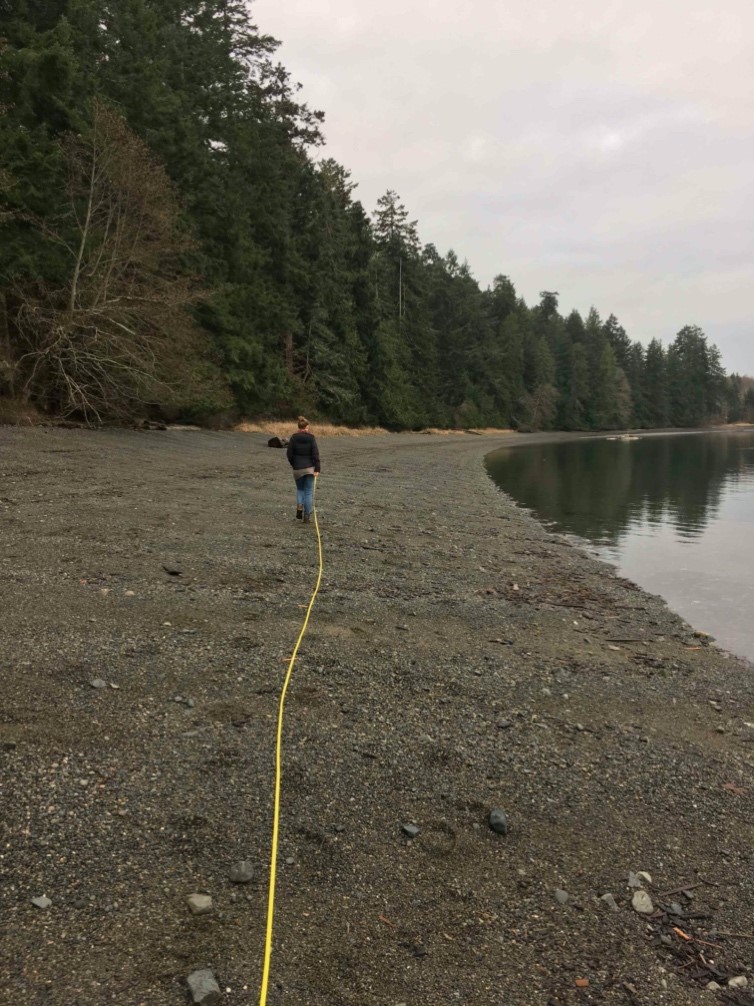
The Forage Fish Spawning Habitat Monitoring project, initiated in 2017, aims to identify the location of existing forage fish spawning habitat along the coastline of Vancouver Island and the Gulf Islands. The project’s primary goal is to help reduce the knowledge gap regarding where and when forage fish species are spawning by collecting and analyzing sediment samples for forage fish embryos. Due to the coastline of Vancouver Island being heavily developed, the bulk of the sample locations are located within the town/city limits of multiple coastal communities, including Qualicum Beach, Parksville, Lantzville, Nanaimo, Ladysmith, and Maple Bay. The project focuses on two species of forage fish, Pacific sand lance and surf smelt, as they each hold significant ecological, cultural, and economic value in the region. A loss in these species could result in a significant loss to our local biodiversity.
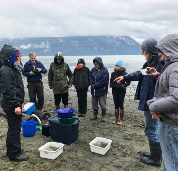
MABRRI also trains citizen scientists to take part in the project in order to simultaneously cover a greater geographic extent. Currently, we have seven groups of volunteers that span the Vancouver Island coastline from Cowichan Bay north to Qualicum Beach, as well as two groups that sample sites on Gabriola Island and Thetis Island. With further funding, we intend to continue expanding this program to include more citizen science groups and continue to cover a greater geographical extent. All of the data that is collected is submitted to the Strait of Georgia Data Centre, an open-access data base owned by the Pacific Salmon Foundation. Ultimately, MABRRI will work with our partners to analyze the data in order to generate and propose updated management and policy with regard to habitat protection and conservation.

