A close call for the Kulluk: Better planning needed before more oil and gas traffic in Arctic waters
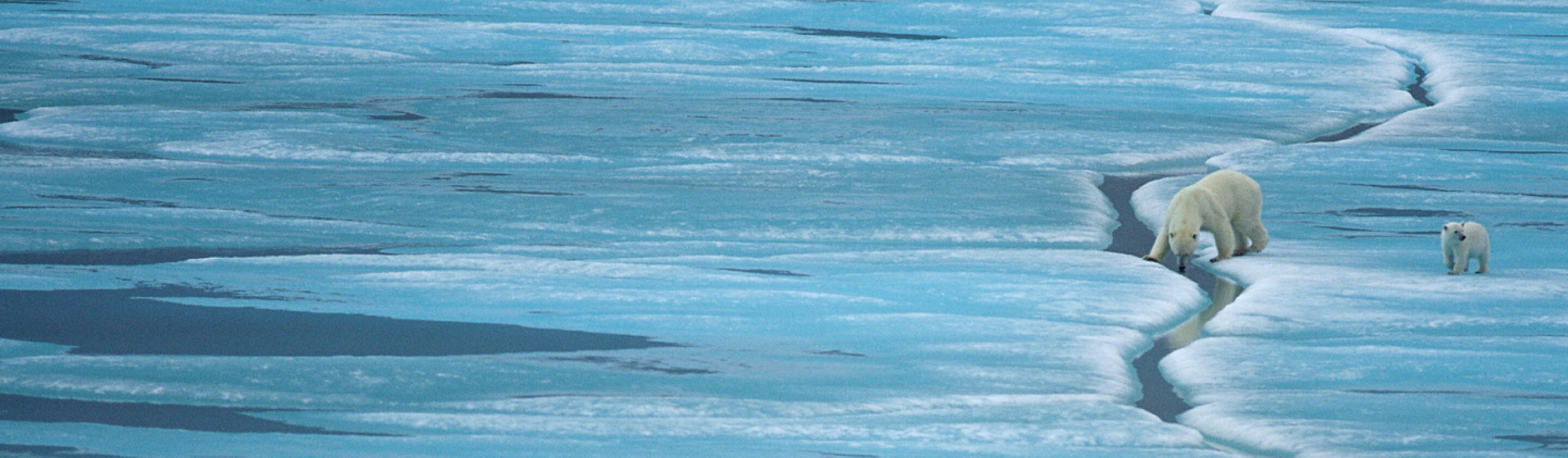
The Kulluk, a conical, Arctic-class drill ship, was being towed from the Beaufort Sea in Alaskan Arctic waters back to Seattle following Shell’s first drilling season in the region. Its tow vessel lost control of the massive platform during a harsh winter storm, resulting in the ship, carrying over 136,000 gallons of diesel fuel and 10,000 gallons of lubes and oils, to be grounded on Sitkalidak Island, a pristine island near two salmon streams and ocean bay estuary.

(c) response.restoration.noaa.gov
This is just one of the many mishaps in Shell’s drilling season, which Christopher Helman describes in Forbes as “a comedy of errors, if the stakes weren’t so high.” This recent accident is of greater concern as it happened in the middle of the winter season, when weather hampers recovery efforts. Should an event like this happen near sea ice, recovery would be even more challenging and the likelihood of events like this more probable, in my opinion. Furthermore, the Kulluk was grounded within 80 kilometres of a major Coast Guard facility, allowing for a quick response. But what if the same problems had been encountered more than 800 kilometres away?
I have been following the coast guard’s rescue operations on their site, which speaks to the resources and bravery required to assist in these emergency situations. As opposed to Canadian Arctic water, emergency response planning in Alaska is more prepared for emergency response, and understands what sensitive areas are at risk , should the Kulluk have leaked fuel. For example, the Cook Inlet Response Tool (CIRT), a data integration and visualization product designed to assist responders in the event of an oil spill or other event, was recently launched. This interactive web-based tool combines: GIS spatial data layers, real-time observations, forecasts for winds, waves, and ocean circulation, and ShoreZone video (follow this link to see a video of the beautiful shoreline of the Sitkalidak Island where the Kulluk ran aground).
[youtube]https://www.youtube.com/watch?v=8xT12HlBsA0&list=PLcjyNIrgzIPq7gxtf-GlqXsCS8LwjvDny&index=1[/youtube]
This type of baseline and real-time data is essential to understand how wind and current will affect spilled oil and response measures. It can also help in determining if the oil will travel across international boundaries, or into environmentally sensitive areas such as estuaries, bird rookeries, and marine mammal habitat. For example, a spill within the coastal water of Northwest BC could look like this.
Before mishaps like this happen in Canadian Arctic water, whether through oil and gas, shipping, tourism, or other marine traffic, it is necessary to get the best available data of the environmental conditions and if possible, real-time conditions, to allow for response. This could assist in emergency response planning and inform industries if there are times and places where the risks are too high and the environment too sensitive to allow industrial activities at certain times and areas. Currently, the ability to respond to spills is questionable, but the limited ability could be improved with smart and informed planning to make sure that the most sensitive areas were to be protected.