One harbour, many values
I was five. We moved away from Prince Rupert shortly after. I never thought I’d be back on these docks over three decades later, still wondering about the life teeming below. And funnily enough, I often encounter kids with fishing rods, making their own memories. And fishermen, and sailing enthusiasts. Cargo ships loaded with grain and coal are in the harbour, too, and the occasional container vessel, and even the odd cruise ship! With the assistance of a couple tugs, a ship is loading logs from a boom out in the middle of the harbour. Float planes buzz by. The occasional eagle lets out a jagged, prolonged chirp. Maybe a harbour seal pops up in the distance to look my way. On some days, the odour of the fish processing plant wafts across the docks. An acquired taste.

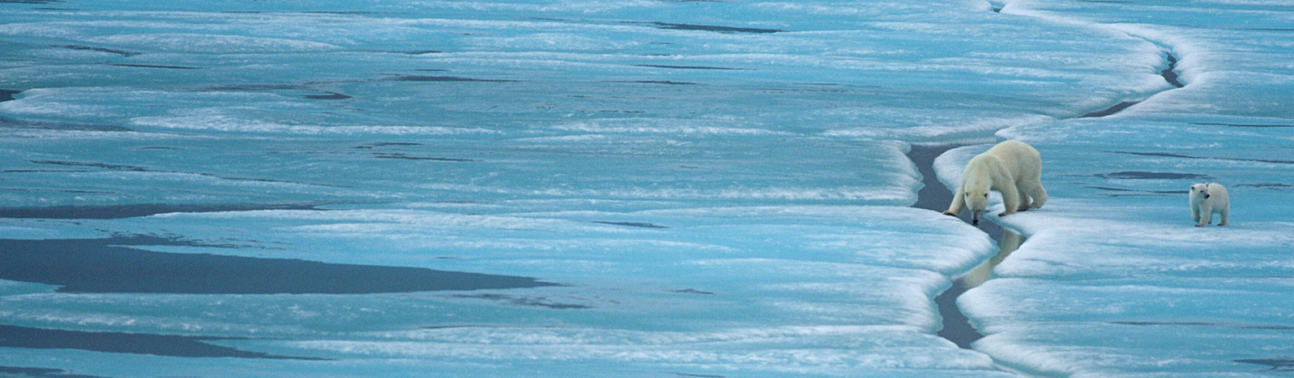
(c) Mike Ambach/WWF-Canada
The story of this place can be told through the changes that have taken place all along the foreshore. Forestry, fishing, tourism, and increasingly, shipping have all shaped the face of this harbour, and the values of the people who live here. There’s a parallel story there about habitat values as well.
 Mike Ambach/WWF-Canada")
Last summer, I helped collect some of this story. Working with volunteers, we spent many early mornings walking the shoreline at low tide and mapping the types of habitat we found. We described the shore in terms of the diversity of vegetation (plants and algae) and substrate (type of surface), and also recorded important features like streams and clambeds. This was done to update a survey that had been undertaken 11 years ago. The idea is to have a better understanding of the ecosystem values that are supporting the life in the harbour region, and also to get a sense for how they may be changing over time. The information was added to an on-line map of the Prince Rupert area called the Community Mapping Network, developed by habitat biologists from the DFO. This on-line map can in turn be used to inform decisions about development options for the region.
Check out the video tutorial on how to use this map.
I’ve been presenting the results from this work locally. From one point of view, foreshore mapping can seem like a technical exercise (“data collection”!). But it’s ultimately about understanding a story – a story about how we relate to the coastal environment, and about how human and natural values combine and evolve together.
So when I encounter kids on the docks and ask them “any bites?” that’s only the starting point for a story. I try to think of conservation work as laying the foundation for a good story to be told, one where the outcome makes you want read more.
 Mike Ambach/WWF-Canada")